I slept a full 12 hours and woke feeling somewhat better. Brewed myself a cup of coffee and fixed a bowl of oatmeal with blueberries for breakfast. Ate breakfast on the rustic bench on the porch hoping to see another Kaibab squirrel in the Ponderosa Pines.
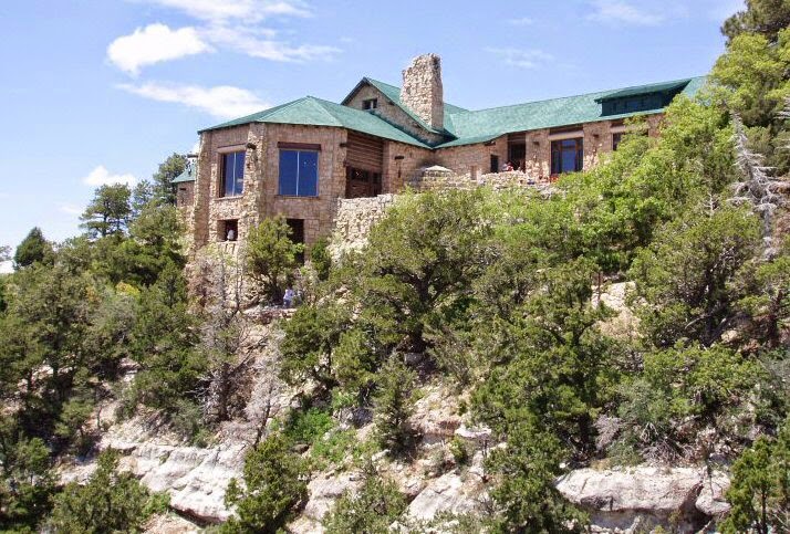
Aside: It smells wonderfully piney up here, and the volunteer at the deli yesterday told me that the North Rim is the second quietest place on earth. Oddly enough, when repeating this bit of wisdom to two guys at Roosevelt Lookout later in the day, the peaceful quiet was interrupted by the roar of a helicopter, a red sight-seeing helicopter that rose from the canyon right in front of us. We all had to laugh. (Internet photo below).
After breakfast I took several photos in the morning sunlight and called for a porter/cart to help me get my gear back up to the car in the parking lot. The porter turned out to be a handsome guy from . . . Bartlesville, OK. He enjoys his summers working here and said he has to acclimatize to the altitude each summer, too.
I thought briefly of riding a mule on one of the trails, emphasis on “briefly.” Think I would feel higher and more precarious on a mule than on my own two legs . . . which heights turn to jelly. I know I wouldn’t trust the critter.
I took the Fuller Canyon Road on my way out, and drove to Vista Ecantada and then to Roosevelt Point overlooking the Nankoweap Canyon and then out to Point Imperial where I took more photos and stopped for a picnic lunch overlooking the immense canyon. It is impossible to show the immensity and depth of the area with photos.
 |
| Roosevelt Point overlooking Nankoweap Canyon |
 |
| Vista Ecantada |
 Then I said good-bye to the North Rim, stopping first at the ranger’s station to report that a large Ponderosa Pine had fallen across the Fuller Canyon Road, blocking one lane and part of the other. Much of the area out the Fuller Canyon Road had burned in the past and the ranger said that falling trees and rocks were common occurrences.
On the way out I saw some yellow and red litter in the center of the road and was shaking my head at the littering tourists when the wrapper flew away. It was a Western Tanager, a yellow bird with a red head and black wings and tail.
Once past the buffalo and horses, the way into Zion from the East entrance is spectacular. Giant swirled mountains of white rock looking like the tops of soft ice cream cones, huge flat-faced cliffs, some of which sport gnarled Pinyon Pines seemingly growing straight out of the rocky cliffs; dark rock walls weeping water; roadside claret cup, beavertail, and prickly pear cactus; wallflower, birdcage primrose, wild blue flax . . . and two tunnels. The first is short but the second is a little over a mile long. I am not claustrophobic but must admit that I was anxious to see the light at the end of the tunnel. It was pitch black inside, no lights other than the car lights, and the sound of the cars was magnified and eerie. This tunnel was built in 1930 I think. No long RV’s or buses are allowed on this road or through the tunnel without a guide car, and traffic is directed alternately through the tunnel so no headlights come toward you.
 |
| East entrance tunnel (Internet) |
After leaving the tunnel, one must navigate three very severe s-turns to reach the canyon floor. Once down, I went to the Zion Canyon CG just out of the Park in Springdale behind the Quality Inn. When I’d tried to reserve earlier, the Park campground (Weatherman) was already full, this being the weekend. I reached the Quality Inn CG at 4:30 PM.
After checking in, and before looking at the campsites, I walked across the street to Zion Adventure Company to book a jeep tour. They had no one signed up for the following day and needed at least two people to run the tour, so I signed on for the 5 o’clock Cliffs and Canyons tour that was to leave in 20 minutes! Yikes!
There were 7 of us in a 1974 Mercedes Unimog 404, once a Swiss troop carrier, now a rugged all-terrain vehicle. One of the group was a young girl who worked for Zion Adventures. She’d invited her sister and mother & father to Zion. All four were from Norman, OK. Small world.
 |
| Zion Adventure Co. directly across the road from my campground (Internet photo) |
 |
| The Unimog waiting for us outside the Zion Adventure Company and below a promotional shot of the Unimog |
 Steve and his wife are both from South Africa and Steve was our driver. Steve said something about the Shawangunk Mountains, and I said, “Those mountains are in southern NY near New Paltz. I worked there out of high school at Lake Mohonk Mountain House. How do you know these mountains?” Turned out that Steve and his wife had honeymooned at Mohonk. Two degrees of separation working again.
It was a fantastic tour because Steve was extremely knowledgeable. We wore headsets so that we could hear him, and he told us about the geography, flora, fauna, human history, and local folklore of the area. He pointed out and named all the wildflowers and trees, told us the history of the Mormons in the area, took us into a beautiful fertile valley and to Grafton Ghost Town where Joseph Smith had built a church and a pretty elaborate house out of adobe, and also a rudimentary log cabin (for the second wife). Grafton, Steve told us, was one of the sites of the filming of Butch Cassidy and the Sundance Kid. Durango, CO, was another.
 |
| Restored adobe Mormon school in Grafton Ghost Town |
 |
| Mormon founder of Grafton Alonzo Russell's restored 1862 adobe house. It's nearly out of the photo frame but I wanted to get the formation behind it. |
 |
| For comparison, this is the structure where Alonzo housed his third wife |
 |
| Grafton cemetery. Though Grafton is now a ghost town, Mormon family members related to the individuals buried here still keep up this forlorn, dusty cemetery where their relatives are buried. Cedar Pete and Puss were Indians; James Jasper York and his brother John William, 10 both died of diphtheria. Four Fields died the same month, Sarah Ann Field, 37, and her 10-year old daughter dying on the same day, both of diphtheria. Joseph Field, 9 years old, was "drug to death by a horse" four years before them. |
We dipped into deep gorges, crossed dramatic cross-bedded formations, and drove up Crybaby Hill, a mountain bike killer, very steep, deeply rutted, and impassable after any rain. Then we drove out to the summit mesa with a 270-degree view. Steve posed for me on the very edge of a rock outcropping. And to think the crazy guy wanted me to stand there for a picture. His standing there made my knees weak.
 |
| Steve's pose that I captured tho weak in the knees |
We got back at 8:30 pm, so I had to rush to get my tent up before dark, which came earlier than usual because Watchman Mountain was just across the Virgin River from the CG. I was assigned site J38. Drove to it and found it directly in the sun (temps in the canyon are in the 80s). Went back and was reassigned J13—still not good but the lesser of two evils. This is not a quiet or a pretty campground, despite the fact that it sits on the beautiful Virgin River. The tent sites were tiny and J13 backed to a fence. Fully a third of it was under a fruiting mulberry tree, the ground littered with the purple-staining berries and useless for erecting the tent or sitting at the picnic table.
 |
| My ugly, cramped campsite. Can you see my tent? |